My Genealogy Hound
Garfield Township, Dickinson County, Kansas 1887 Map
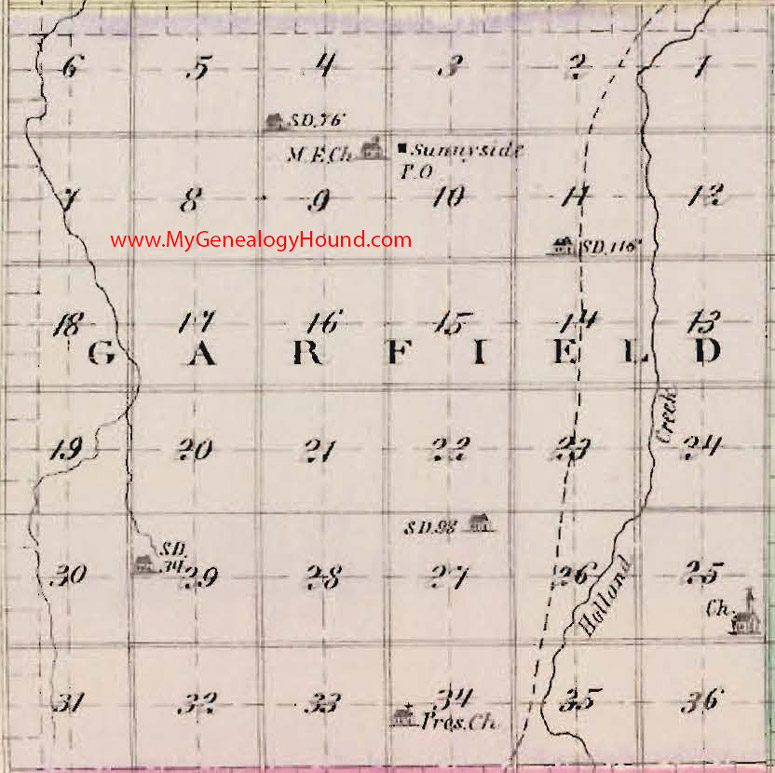
Locations shown include:
Sunnyside
Buildings shown are school houses, with the school district number (example: SD 52)
This a portion of a map from Official State Atlas of Kansas, by L. H. Everts & Co., 1887
View the complete map of Dickinson County, Kansas here: Dickinson County, Kansas 1887 Map
View additional Kansas Maps here: Kansas County Maps
County maps from other states can be viewed here: State County Maps
Use the links at the top right of this page to search or browse thousands of family biographies.