My Genealogy Hound
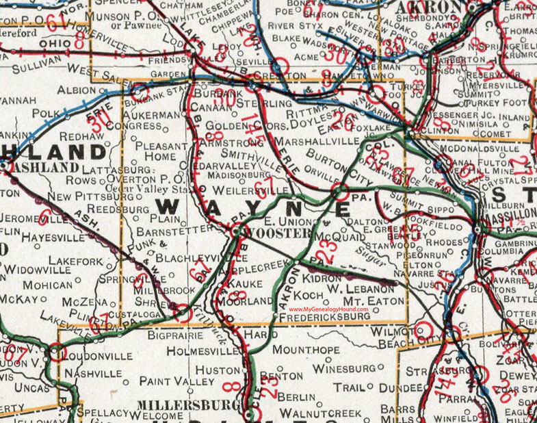
Wayne County, Ohio 1901 Map

Locations shown include: Apple Creek * Armstrong * Aukerman * Barnstetter * Blachleyville * Burbank * Burbank Station * Burton City * Canaan * Cedar Valley * Cedar Valley Station * Congress * Creston * Custaloga * Dalton * Doylestown * Easton * East Union * Fox Lake Junction * Fredericksburg * Funk * Golden Corners * Kauke * Kidron * Koch * Lattasburg * Madisonburg * Marshallville * McQuaid * Millbrook * Moorland * Mount Eaton * New Pittsburg * Orrville (Orville) * Overton P O * Plain * Pleasant Home * Reedsburg * Rittman * Shreve * Smithville * Springville * Sterling * Weilersville * West Lebanon * West Salem * Wooster *
This Wayne County map is a portion of an 1901 Ohio map by Cram.
View additional Ohio Maps here: Ohio County Maps
County maps from other states can be viewed here: State County Maps
Use the links at the top right of this page to search or browse thousands of family biographies.