My Genealogy Hound
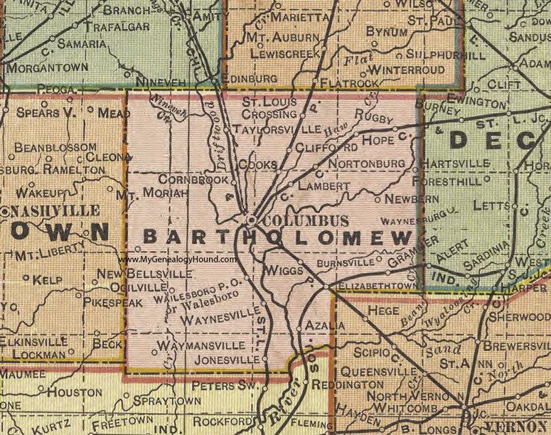
Bartholomew County, Indiana 1908 Map

Locations shown include: Azalia, Burnsville, Clifford, Columbus, Cooks, Cornbrook, Elizabethtown, Grammer, Hartsville, Hope, Jonesville, Lambert, Newbern, Nortonburg, Ogilville, Rugby, St. Louis Crossing, Taylorsville, Wailesboro, Walesboro, Waymansville, Waynesville, Wiggs
This a portion of a map by Geo. A. Ogle & Co., 1908
View additional Indiana Maps: Indiana County Maps
County maps from other states can be viewed here: State County Maps
Use the links at the top right of this page to search or browse thousands of family biographies.