My Genealogy Hound
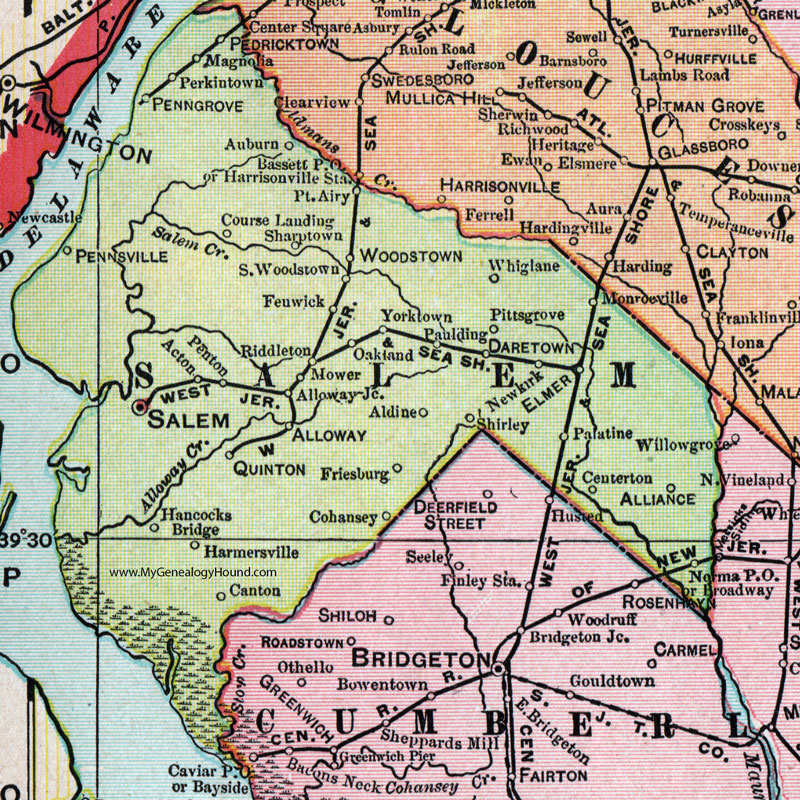
Salem County, New Jersey, 1905 Map

Locations shown include: Acton, Aldine, Alliance, Alloway, Alloway Junction, Auburn, Broadway, Canton, Centerton, Cohansey, Course Landing, Daretown, Elmer, Fenwick, Friesburg, Hancocks Bridge, Harmersville, Magnolia, Monroeville, Mower, Newkirk, Norma P O, Oakland, Palatine, Paulding, Pedricktown, Penngrove (Penns Grove), Pennsville, Penton, Perkintown, Pittsgrove, Point Airy, Quinton, Riddleton, Salem, Sharptown, Shirley, South Woodstown, Whiglane (Whig Lane), Woodstown, Yorktown.
This Salem County map is a portion of a 1905 New Jersey map by George F. Cram.
View additional New Jersey Maps here: New Jersey County Maps
County maps from other states can be viewed here: State County Maps
Use the links at the top right of this page to search or browse thousands of family biographies.