My Genealogy Hound
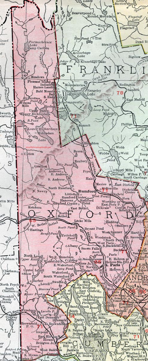
Oxford County, Maine, 1912 Map

(See enlarged portions of this map below.)
Locations shown include: Albany, Andover, Bethel, Birches, Bridgton Junction, Brownfield P. O., Bryant Pond, Buckfield, Byron, Canton, Canton Point, Center Lovell, Denmark, Dickvale, Dixfield, Dixfield Center, East Andover, East Bethel, East Brownfield, East Denmark, East Dixfield, East Hebron, East Hiram, East Peru P. O., East Stoneham, East Sumner, East Waterford, Fryeburg (Frye), Grafton, Hale, Hanover, Harbor, Hartford, Hastings, Hebron, Hebron Station P. O., Hiram, Houghton, Icepond, Ketchum, Littlefield, Locke Mills, Lovell, Meadows, Meadow View, Mexico, Middledam (Middle Dam), North Bethel, North Buckfield, North Fryeburg, North Lovell, North Newry, North Paris, North Rumford, North Waterford, Norway, Norway Lake, Oxford, Oxford P. O., Paris, Peru, Pleasant Island, Porter, Redding, Rices Junction, Ridlonville, Roxbury, Rumford, Rumford Center, Rumford Corner, Rumford Point, Snows Falls, South Andover, South Hiram, South Paris, South Waterford, Stanley, Stow, Sumner, Sweden, Upper Dam, Upton, Waterford, Welchville P. O., West Bethel, West Paris, West Peru, West Sumner, Wilsons Mills, Woodstock, Worthley.
This Oxford County map is a portion of a 1912 map of Maine by Rand McNally.

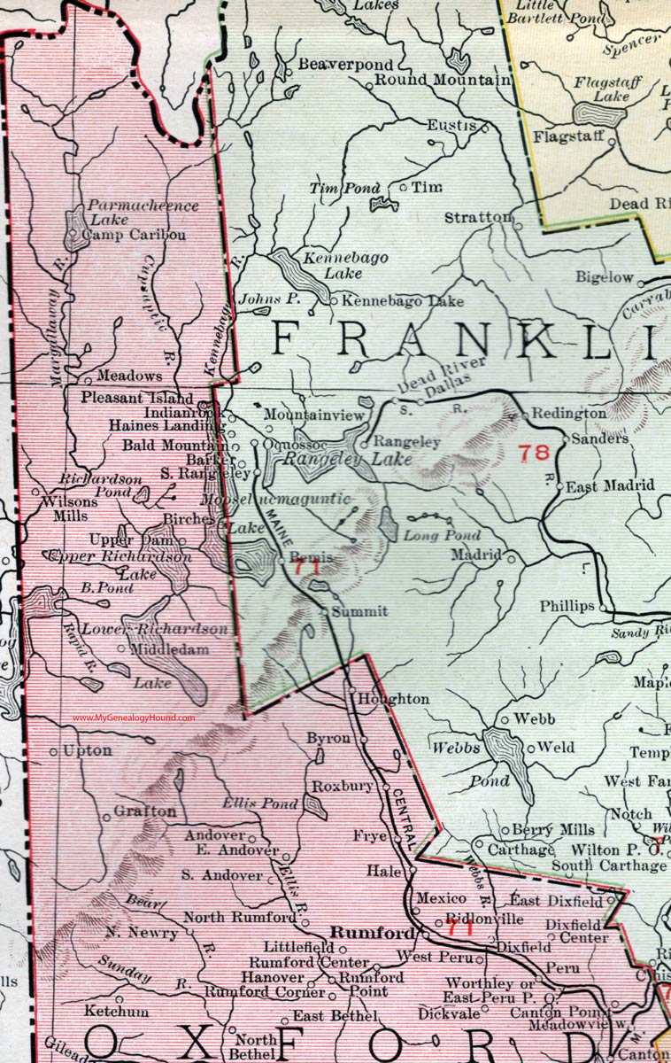
Map of the northern portion of Oxford County, Maine.

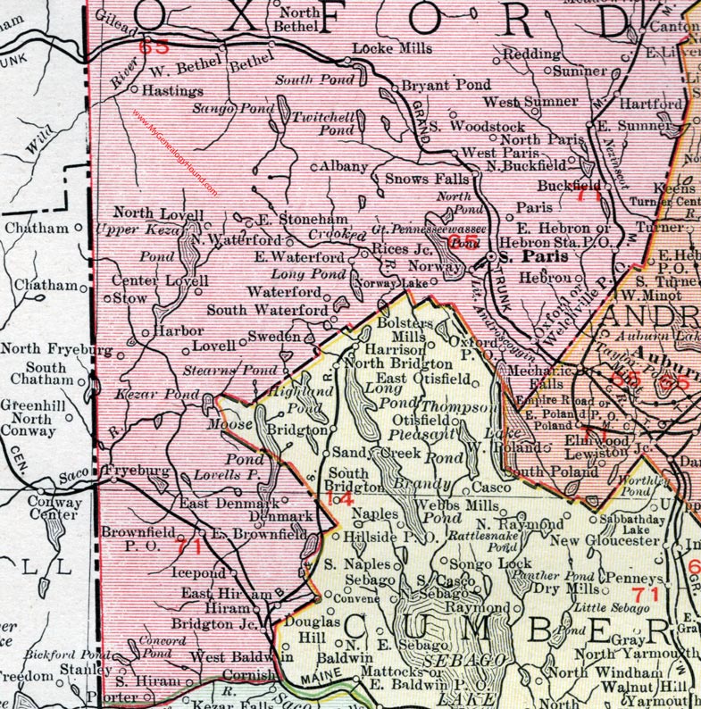
Map of the southern portion of Oxford County, Maine.
View additional Maine Maps here: Maine County Maps
County maps from other states can be viewed here: State County Maps
Use the links at the top right of this page to search or browse thousands of family biographies.