My Genealogy Hound
Cincinnati, Ohio, 1866, panoramic view, historic photos

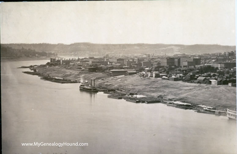
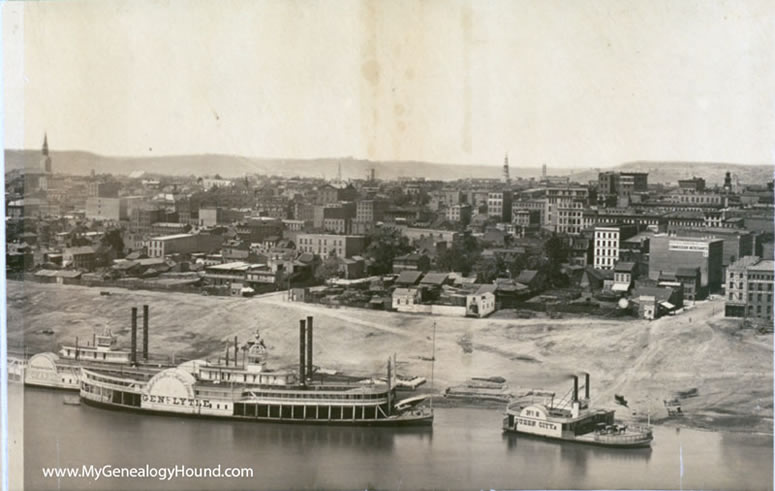
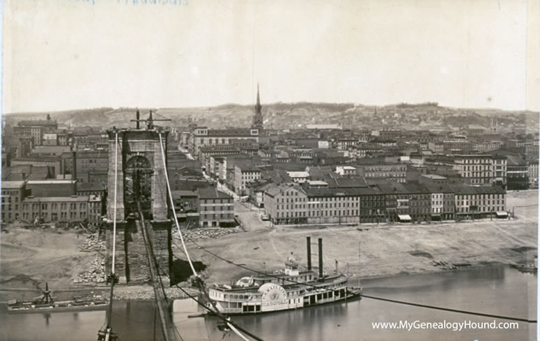
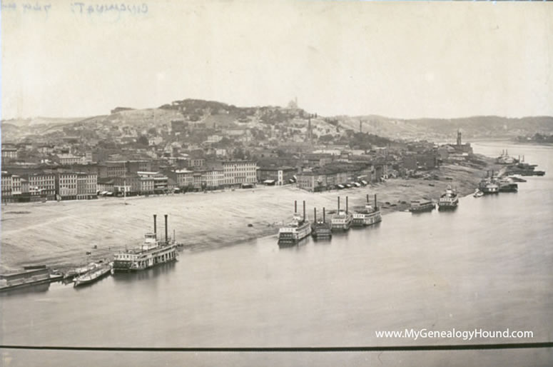
An historic panoramic photo view of Cincinnati, Ohio from 1866. Panoramic photos such as this tend to be very large, this one measuring 10" tall x 61" wide. The above view shows the entire photo; below you will see the four sections at a larger scale.

This is the far left section of the photo. A steamboat and numerous barges are visible in this view.

This is the second section from the left. In this view, several taller church spires can be seen across the city landscape. On the river front are several steamboats, some of which are identifiable by name: St. Charles (at far left); Gen. Lytle (the largest vessel here); and Queen City (at the right).

This is the second section of the photo from the right. One church spire is visible as well as the John A. Roebling Suspension Bridge during construction. The steamboat is a U. S. Mail Line vessel, name unreadable.

This is the far right hand section of the photo. Numerous steamboats line the shore here. The dark line at the bottom of the photo is a cable for the John A. Roebling Suspension Bridge, then under construction.
View an historic map of Hamilton County, Ohio and the Cincinnati area
View additional Ohio historic photos, images and vintage postcards
View additional historic photos, images and vintage postcards for other topics and locations
Use the links at the top right of this page to search or browse thousands of family biographies, vintage maps, historic photographs, and vintage postcards.
Follow My Genealogy Hound on Facebook: 