My Genealogy Hound
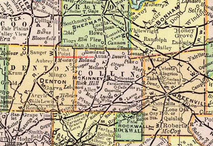
Collin County, Texas 1897 Map

Locations shown include: Allen, Altoga, Anna, Copeville, Culleoka, Desert, Farmersville, Josephine, Lavon, Lebanon, Lucas, McKinney, Murphy, Nevada, Pike, Plano, Princeton, Renner, Richardson, Rock Hill, Roseland, Wylie
This Collin County map is a portion of a Texas map by Rand, McNally & Co. 1897
View additional Texas Maps here: Texas County Maps
County maps from other states can be viewed here: State County Maps
Use the links at the top right of this page to search or browse thousands of family biographies.