My Genealogy Hound
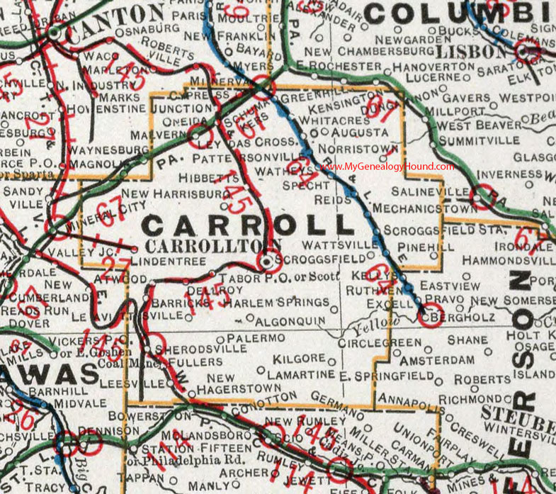
Carroll County, Ohio 1901 Map

Locations shown include: Algonquin * Atwood * Augusta * Barricks * Carrollton * Cypress * Dellroy * Fullers * Harlem Springs * Hibbitts * Junction * Kilgore * Lamartine * Leavittsville * Leesville * Leydas Crossing * Lindentree * Malvern * Mechanicstown * Minerva * New Hagerstown * New Harrisburg * Norristown * Oneida * Palermo * Pattersonville * Pinehill * Reids * Schumakers * Scott * Scroggsfield * Scroggsfield Station * Sherrodsville (Sherodsville) * Sprecht * Tabor P O * Watheys * Wattsville * Whitacres
This Carroll County map is a portion of an 1901 Ohio map by Cram.
View additional Ohio Maps here: Ohio County Maps
County maps from other states can be viewed here: State County Maps
Use the links at the top right of this page to search or browse thousands of family biographies.