My Genealogy Hound
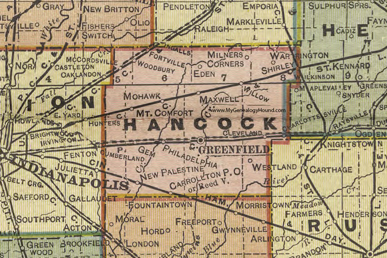
Hancock County, Indiana 1908 Map

Locations shown include: Carrollton, Charlottesville, Cleveland, Eden, Fortville, Gem, Greenfield, Maxwell, McCordsville, Milners Corners, Mohawk, Mt. Comfort, New Palestine, Philadelphia, Reedville, Shirley, Warrington, Westland, Wilkinson, Willow, Woodbury
This a portion of a map by Geo. A. Ogle & Co., 1908
View additional Indiana Maps: Indiana County Maps
County maps from other states can be viewed here: State County Maps
Use the links at the top right of this page to search or browse thousands of family biographies.