My Genealogy Hound
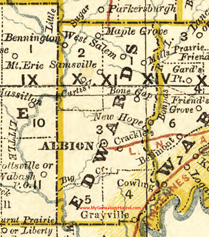
Edwards County, Illinois 1881 Map

Locations shown include: Albion, Bone Gap, Crackle, Curtisville, Grayville, Maple Grove, Mills Prairie, Samsville, West Salem
This a portion of a map by Rand McNally, 1881.
View additional Illinois Maps here: Illinois County Maps
County maps from other states can be viewed here: State County Maps
Use the links at the top right of this page to search or browse thousands of family biographies, historic maps, and vintage photos and postcards.