My Genealogy Hound
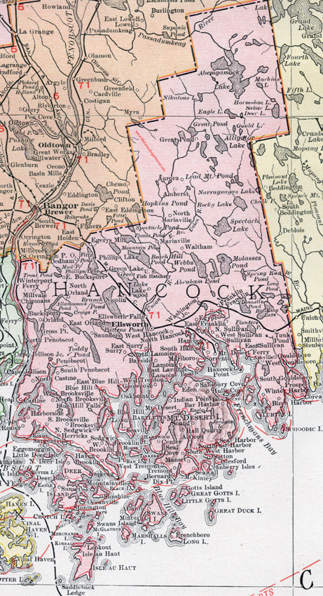
Hancock County, Maine, 1912 Map

(See enlarged portions of this map below.)
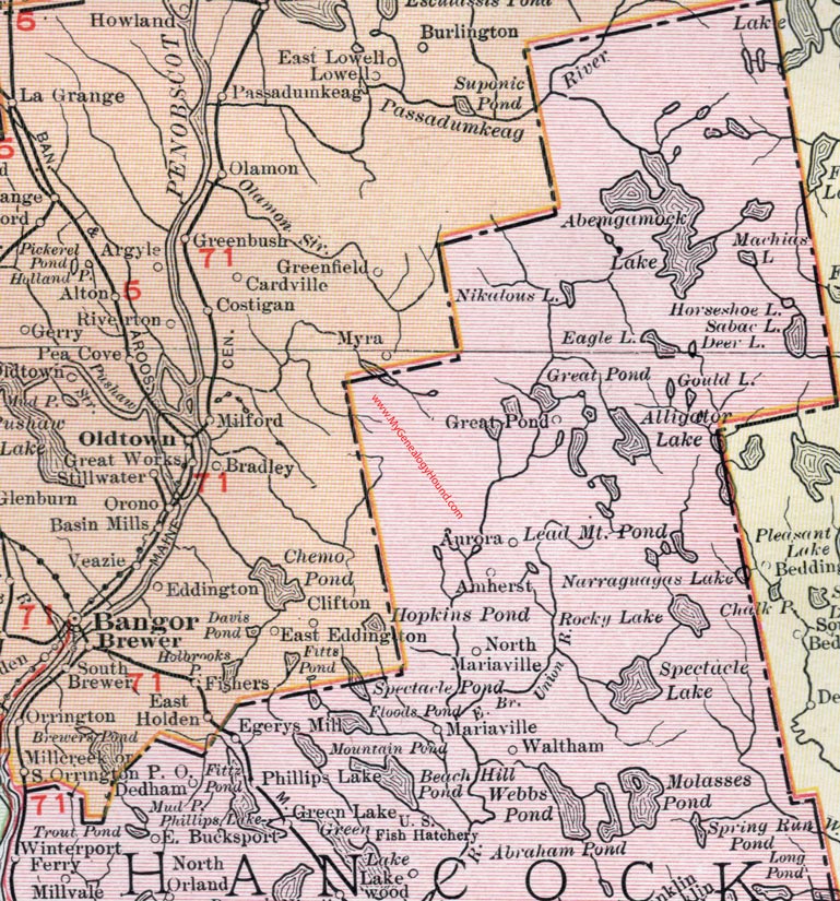
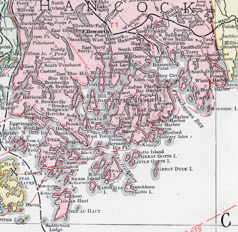
Locations shown include: Amherst, Ashville, Asticon, Atlantic, Aurora, Bar Harbor, Bayside, Bernard, Birch Harbor, Blue Hill, Blue Hill Falls, Brooklin, Brooksville, Bucksport, Cape Rozier, Castine, Center, Chipmans,Corea, Cranberry Isles, Dedham, Deer Isle, Dirigo Island, Dix Pt., Eagle, East Blue Hill, East Bucksport, East Franklin, East Lamoine, East Orland, East Sullivan, East Surry, Eden, Egerys Mill, Eggemoggin, Egypt, Ellsworth, Ellsworth Falls, Flye Pt., Franklin, Frenchboro, Goosecove, Gouldsboro, Great Pond, Green Lake, Gross Point, Hall Quarry, Hancock Point, Harborside, Haven, Herricks, Hulls Cove, Indian Point, Isle au Haut, Islesford, Lakewood, Lamoine, Little Deer Isle, Lookout, Manset, Mariaville, McKinley, Millvale, Minturn, Mountainville, Mt. Desert, Mt. Desert Ferry, Naskeag, Nicolin, Northeast Harbor, North Brooklin, North Brooksville, North Castine, North Deer Isle, North Hancock, North Lamoine, North Mariaville, North Penobscot, North Sedgwick, North Sullivan, Oakpoint, Oceanville, Orland, Penobscot, Phillips Lake, Prospect Harbor, Salisbury Cove, Sargentville, Saunders, Seal Cove, Seal Harbor, Seaville, Seawall, Sedgwick, Sorrento, Sound, South Blue Hill, South Brooksville, South Gouldsboro, South Penobscot, South West Harbor, Stonington, Sullivan, Sunset, Sunshine, Surry, Sutton, Swans Island, Tremont, Tunk Pond, Waltham, Washington Junction, West Brooklin, West Brooksville, West Franklin, West Gouldsboro, West Hancock, West Sullivan, West Tremont, West Trenton, Winter Harbor, Winterport Ferry.
This Hancock County map is a portion of a 1912 map of Maine by Rand McNally.

Map of the northern portion of Hancock County, Maine.

Map of the southern portion of Hancock County, Maine.
View additional Maine Maps here: Maine County Maps
County maps from other states can be viewed here: State County Maps
Use the links at the top right of this page to search or browse thousands of family biographies.