My Genealogy Hound
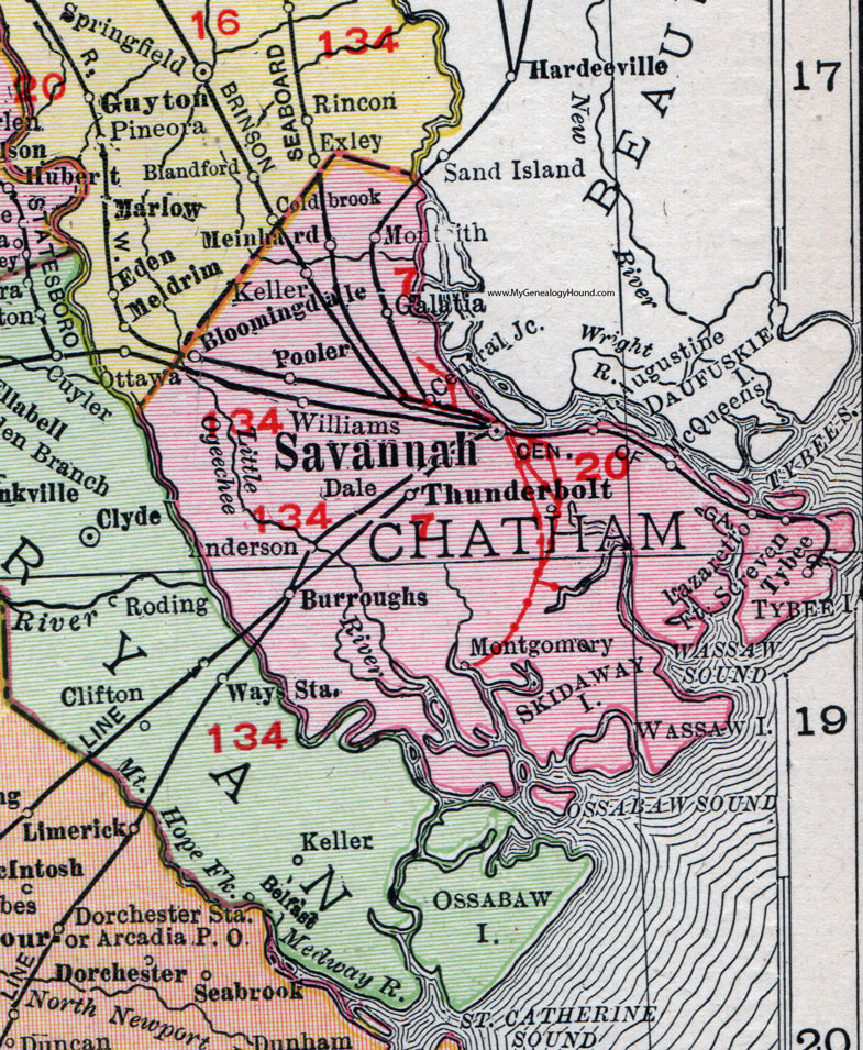
Chatham County, Georgia, 1911 Map

Locations shown include: Anderson, Bloomingdale, Burroughs, Central Junction, Dale, Fort Screven, Galatia, Keller, Lazaretto, McQueens, Meinhard, Montgomery, Monteith, Pooler, Saint Augustine, Savannah, Thunderbolt, Tybee, Williams.
This Chatham County map is a portion of a 1911 Georgia map by Rand McNally.
View additional Georgia Maps here: Georgia County Maps
County maps from other states can be viewed here: State County Maps
Use the links at the top right of this page to search or browse thousands of family biographies.